subscribe to newsletter
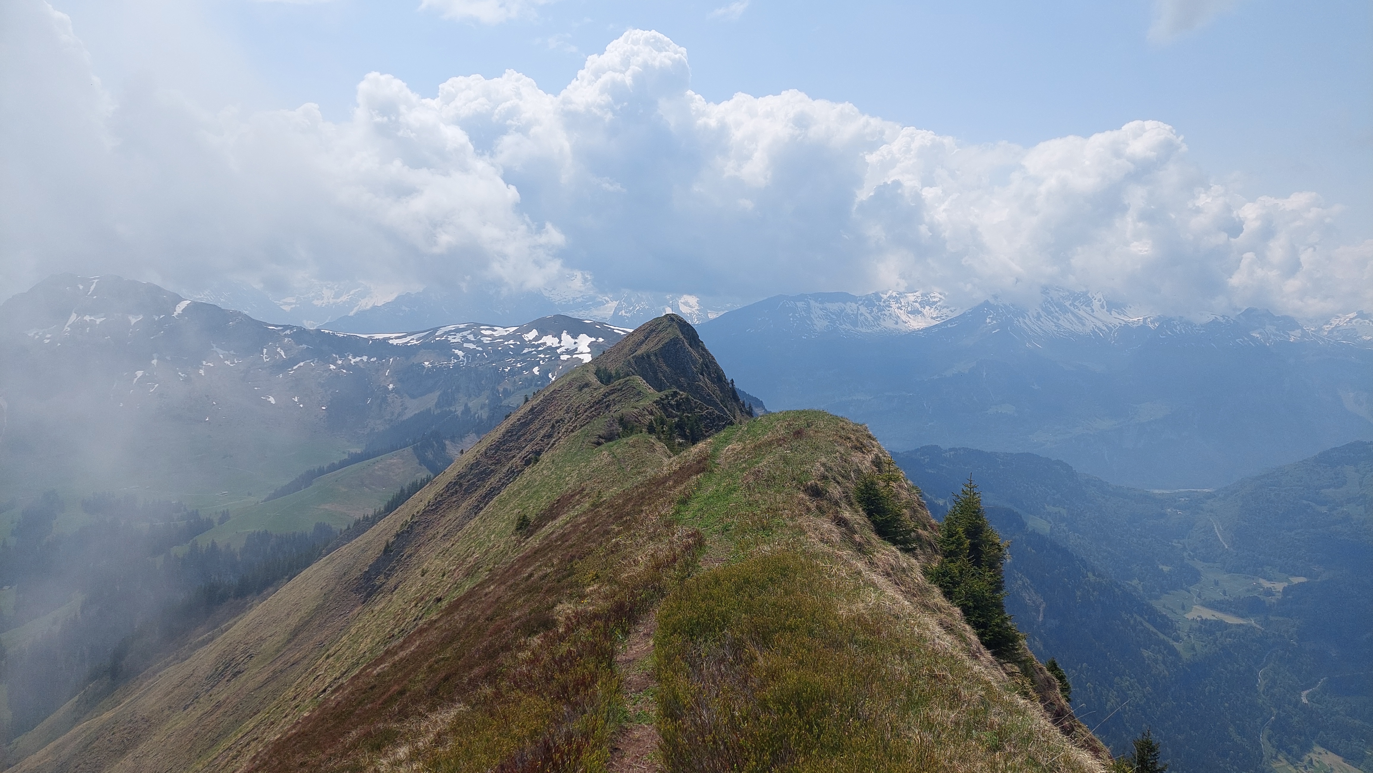
The hiking bug: views down
This hiking tip is for those who love steep climbs and slightly exposed stretches of path. Above Lake Lungern lies a hiking trail that leads along a mountain ridge to the highest point, providing you with incredible views on the way.
It isn’t just the steep Bärentritt steps that will make demands on your fitness. The 15km hiking route covers a total of 1475 metres of altitude. Yet the view of picturesque Lake Lungern is enough to make you forget all your efforts and lift your mood once more. What’s more, you can also admire the Wetterhorn group of mountains beyond Gibel from the top of Güpfi!
The ridge walk over Güpfi
Begin this circular walk at Lungern Station (749 m.a.s.l.) and start by heading north on the asphalt road. This becomes a dirt road at waypoint 916, which you should follow towards Tritt (988 m.a.s.l.). The path becomes a bit steeper from then on and takes you north-north-west up to the ridge of the Bärentritt forest. Now there is a steep upward climb over Bärentritt to the south until you reach Arvidossen after climbing 400 metres of altitude. From here you should be able to see Güpfi for the first time, but it’s still a good distance away, behind Höh Grat ridge. Hike along the ridge and always follow it. After a short downhill interlude to Egg (1811 m.a.s.l.), the last section of the path leads to Güpfi (2043 m.a.s.l.). The ridge path at the end is somewhat exposed, but also promises amazing views over Lake Lungern. For the descent, you follow the hiking trail southwards to the Alp Hüttstett (1663 m.a.s.l.). From Hüttstett, take the hiking trail to Gadenmattbach. By continuing to follow the course of the stream you will reach Lungern Station again.
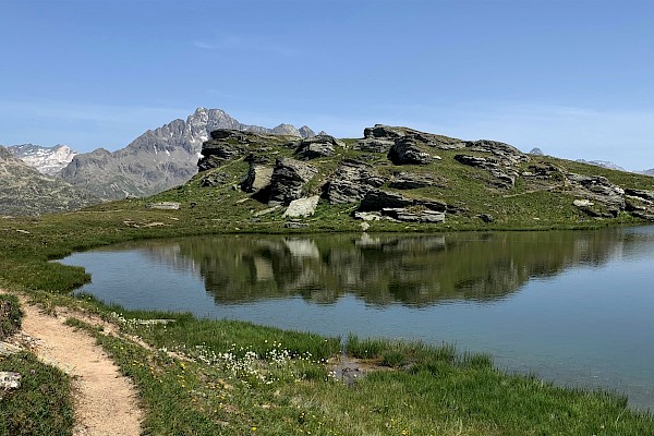
If you fancy cooling down after your demanding hike, you can do this by jumping into refreshing Lake Lungern. The lake is a natural reservoir and has been used to generate electricity since 1921. Its colour is unique too. Due to the mineral composition of the water, reflected by the sun, the lake is a beautiful emerald green. Incidentally, if you now fancy discovering Lake Lungern with your family, you can also do this by taking a walk around the lake. The path is suitable for cyclists as well as walkers and presents no problems for prams either. If you want to jump in, there is a bathing area in Bürglen, on the north bank, and another at Badi on the south bank.
Additional information
Duration and difficulty
With no breaks, the circular hike takes 7 hours and covers a total of 15 km. Both ascent and descent cover 1475 metres of altitude. The hike is classified as T3 – challenging mountain hike. As the route includes steep and mildly exposed stretches, you are advised to attempt these in dry weather only.
Waypoints
- Lungern Station (749 m.a.s.l.)
- Tritt (988 m.a.s.l.)
- Flüe (1313 m.a.s.l.)
- Bärentritt (1400 m.a.s.l.)
- Lecki Dossen (1738 m.a.s.l.)
- Arvidossen (1809 m.a.s.l.)
- Höh Grat (1923 m.a.s.l.)
- Egg (1811 m.a.s.l.)
- Güpfi (2043 m.a.s.l.)
- Hüttstett (1663 m.a.s.l.)
- Gadenmattbach (1515 m.a.s.l.)
- Lungern Station (749 m.a.s.l.)
References
Gratwanderung Güpfi • Wanderung » outdooractive.com
OBWALDNER SPEICHERSEEN | Blog Luzern-Vierwaldstättersee